
文晖街道 topographic map
Interactive map
Click on the map to display elevation.
About this map
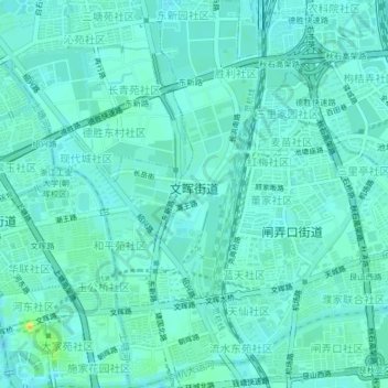
Name: 文晖街道 topographic map, elevation, terrain.
Location: 文晖街道, 拱墅区, 杭州市, 浙江省, 中国 (30.27720 120.16103 30.31237 120.18860)
Average elevation: 36 ft
Minimum elevation: 16 ft
Maximum elevation: 108 ft
Other topographic maps
Click on a map to view its topography, its elevation and its terrain.