
Thank you for supporting this site ❤️
Make a donation
Make a donation
Gear up for your next adventure:
As an Amazon Associate, this site earns from qualifying purchases at no extra cost to you.
Surian topographic map
Click on the map to display elevation.
Thank you for supporting this site ❤️
Make a donation
Make a donation
Gear up for your next adventure:
As an Amazon Associate, this site earns from qualifying purchases at no extra cost to you.
About this map
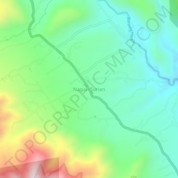
Name: Surian topographic map, elevation, terrain.
Location: Surian, Solok, West Sumatra, Sumatra, Indonesia (-1.27494 100.86712 -1.23494 100.90712)
Average elevation: 3,481 ft
Minimum elevation: 2,792 ft
Maximum elevation: 5,046 ft
Thank you for supporting this site ❤️
Make a donation
Make a donation
Gear up for your next adventure:
As an Amazon Associate, this site earns from qualifying purchases at no extra cost to you.