
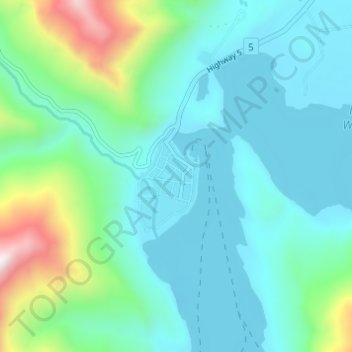
Waterton Park topographic map
Interactive map
Click on the map to display elevation.
About this map
Name: Waterton Park topographic map, elevation, terrain.
Location: Waterton Park, Alberta, Canada (49.03165 -113.92960 49.07165 -113.88960)
Average elevation: 4,826 ft
Minimum elevation: 4,163 ft
Maximum elevation: 7,539 ft