Geolocate

Chalmers topographic map

Interactive map

Click on the map to display elevation.

About this map

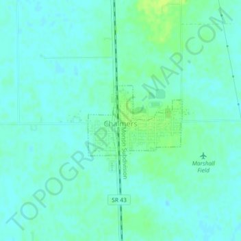
Name: Chalmers topographic map, elevation, terrain.

Location: Chalmers, White County, Indiana, United States (40.65945 -86.87427 40.66735 -86.86036)

Average elevation: 702 ft

Minimum elevation: 686 ft

Maximum elevation: 728 ft

Other topographic maps

Click on a map to view its topography, its elevation and its terrain.

Brookston

United States > Indiana > White County

Brookston, White County, Indiana, United States

Average elevation: 682 ft

Monon

United States > Indiana > White County

Monon, White County, Indiana, United States

Average elevation: 679 ft

Reynolds

United States > Indiana > White County

Reynolds, White County, Indiana, United States

Average elevation: 692 ft

Monticello

United States > Indiana > White County

Monticello, White County, Indiana, United States

Average elevation: 679 ft