
Panjnad River topographic map
Interactive map
Click on the map to display elevation.
About this map
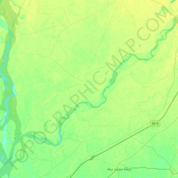
Name: Panjnad River topographic map, elevation, terrain.
Location: Panjnad River, Rahīmyār Khān District, Panyab, Pakistán (29.11082 70.68627 29.34907 71.02380)
Average elevation: 328 ft
Minimum elevation: 299 ft
Maximum elevation: 358 ft
Other topographic maps
Click on a map to view its topography, its elevation and its terrain.
چاہ سلطان
Pakistán > Panyab > راولپنڈی سٹی
چاہ سلطان, راولپنڈی سٹی, ضلع راولپنڈی, Panyab, 46300, Pakistán
Average elevation: 1,660 ft