
Talcher topographic map
Click on the map to display elevation.
About this map
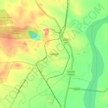
Name: Talcher topographic map, elevation, terrain.
Location: Talcher, Colliery, Angul District, Odisha, 759100, India (20.90582 85.17117 20.98582 85.25117)
Average elevation: 276 ft
Minimum elevation: 98 ft
Maximum elevation: 502 ft