
Make a donation
Gear up for your next adventure:
As an Amazon Associate, this site earns from qualifying purchases at no extra cost to you.
Benedeneind topographic map
Click on the map to display elevation.
Make a donation
Gear up for your next adventure:
As an Amazon Associate, this site earns from qualifying purchases at no extra cost to you.
About this map
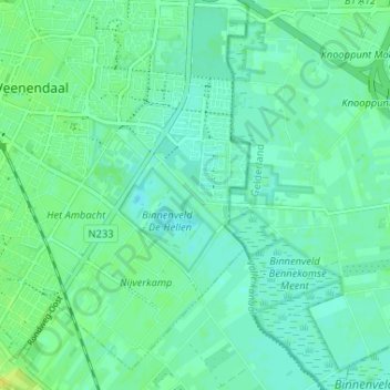
Name: Benedeneind topographic map, elevation, terrain.
Location: Benedeneind, Veenendaal, Utrecht, Nederland, 3907 GE, Nederland (51.99491 5.56120 52.03491 5.60120)
Average elevation: 26 ft
Minimum elevation: 7 ft
Maximum elevation: 59 ft
Make a donation
Gear up for your next adventure:
As an Amazon Associate, this site earns from qualifying purchases at no extra cost to you.
Other topographic maps
Click on a map to view its topography, its elevation and its terrain.
Veenendaal
Nederland > Utrecht > Veenendaal
Veenendaal was de laatste gemeente op het vasteland van Nederland die bevrijd werd. Na de Duitse capitulatie bleven in eerste instantie de in Veenendaal gelegerde Nederlandse en Duitse SS'ers de dienst uitmaken. Op 7 mei gingen verschillende leden van de Binnenlandse Strijdkrachten poolshoogte nemen. Zij…
Average elevation: 36 ft