
宝丰镇 topographic map
Interactive map
Click on the map to display elevation.
About this map
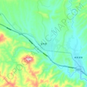
Name: 宝丰镇 topographic map, elevation, terrain.
Location: 宝丰镇, 竹山县, 十堰市, 湖北省, 中国 (32.26447 109.95898 32.34447 110.03898)
Average elevation: 1,683 ft
Minimum elevation: 1,230 ft
Maximum elevation: 2,995 ft
Other topographic maps
Click on a map to view its topography, its elevation and its terrain.