
竹山县 topographic map
Interactive map
Click on the map to display elevation.
About this map
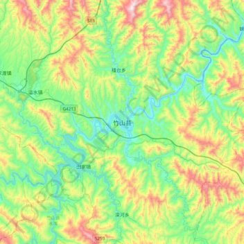
Name: 竹山县 topographic map, elevation, terrain.
Location: 竹山县, 十堰市, 湖北省, 中国 (32.06681 110.06374 32.38681 110.38374)
Average elevation: 1,883 ft
Minimum elevation: 771 ft
Maximum elevation: 4,321 ft
Other topographic maps
Click on a map to view its topography, its elevation and its terrain.