Geolocate

Salgueiros topographic map

Click on the map to display elevation.

About this map

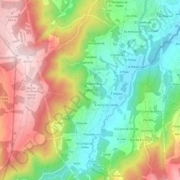
Name: Salgueiros topographic map, elevation, terrain.

Location: Salgueiros, Quembre, Carral, A Coruña, Galicia, 15175, Spain (43.18688 -8.39337 43.22688 -8.35337)

Average elevation: 787 ft

Minimum elevation: 220 ft

Maximum elevation: 1,490 ft

Gear up for your next adventure:

🧢Outdoor Hiking Hat - Sun protection hat for outdoor explorers
🛶Inflatable Kayak - Portable kayak for rivers, lakes, and expeditions
🎒Waterproof Dry Bags - Keep your electronics and maps dry inside your pack
🏫Relief Map Kits - Hands-on tools for teaching landforms and elevation
🧭Hiking Compass - Precision compass for reliable navigation in the wilderness

As an Amazon Associate, this site earns from qualifying purchases at no extra cost to you.