
Arcola topographic map
Interactive map
Click on the map to display elevation.
About this map
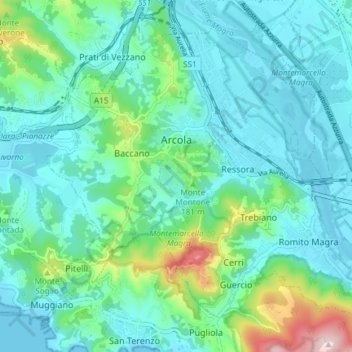
Name: Arcola topographic map, elevation, terrain.
Location: Arcola, SP, Liguria, 19021, Italy (44.08577 9.87842 44.13199 9.95248)
Average elevation: 220 ft
Minimum elevation: -3 ft
Maximum elevation: 1,135 ft