Geolocate

Ravello topographic map

Click on the map to display elevation.

About this map

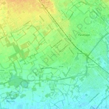
Name: Ravello topographic map, elevation, terrain.

Location: Ravello, Parabiago, Milano, Lombardia, 20015, Italia (45.53136 8.91250 45.57136 8.95250)

Average elevation: 600 ft

Minimum elevation: 558 ft

Maximum elevation: 653 ft

Gear up for your next adventure:

🚁Photography Drones - Capture stunning aerial views of landforms and topography
🦺Reflective Outdoor Gear - Safety gear for low‑light conditions
🌐World Map Poster - Decorative world maps with topographic info
🩹Survival Bandages - High‑quality bandages for emergencies
🔋Rechargeable Batteries - Power up your outdoor devices

As an Amazon Associate, this site earns from qualifying purchases at no extra cost to you.