
Hemsedal topographic map
Click on the map to display elevation.
About this map
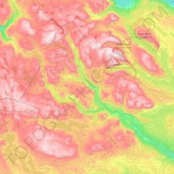
Name: Hemsedal topographic map, elevation, terrain.
Location: Hemsedal, Buskerud, 3560, Norway (60.76404 8.04087 61.09172 8.91900)
Average elevation: 3,993 ft
Minimum elevation: 1,368 ft
Maximum elevation: 6,299 ft
Other topographic maps
Click on a map to view its topography, its elevation and its terrain.