
Kharar topographic map
Click on the map to display elevation.
About this map
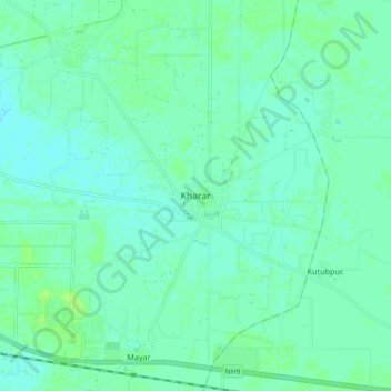
Name: Kharar topographic map, elevation, terrain.
Location: Kharar, Hisar, Hisar District, Haryana, India (29.09671 75.83640 29.17671 75.91640)
Average elevation: 705 ft
Minimum elevation: 692 ft
Maximum elevation: 722 ft