
Punta Morro topographic map
Click on the map to display elevation.
About this map
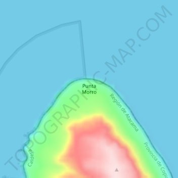
Name: Punta Morro topographic map, elevation, terrain.
Average elevation: 157 ft
Minimum elevation: 0 ft
Maximum elevation: 974 ft
Other topographic maps
Click on a map to view its topography, its elevation and its terrain.
Humedal Desembocadura del Río Copiapó
Chile > Atacama Region > Provincia de Copiapó > Caldera
Average elevation: 102 ft
Bien Nacional Protegido Yacimiento Paleontológico Cerro Ballena
Chile > Atacama Region > Provincia de Copiapó > Caldera
Average elevation: 174 ft