
Altha topographic map
Click on the map to display elevation.
About this map
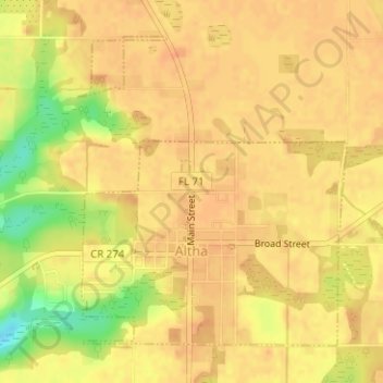
Name: Altha topographic map, elevation, terrain.
Location: Altha, Calhoun County, Florida, United States (30.56378 -85.14017 30.58562 -85.11440)
Average elevation: 200 ft
Minimum elevation: 102 ft
Maximum elevation: 230 ft
Calhoun County trails, hiking, mountain biking, running and outdoor activities
Other topographic maps
Click on a map to view its topography, its elevation and its terrain.