
La Veta topographic map
Interactive map
Click on the map to display elevation.
About this map
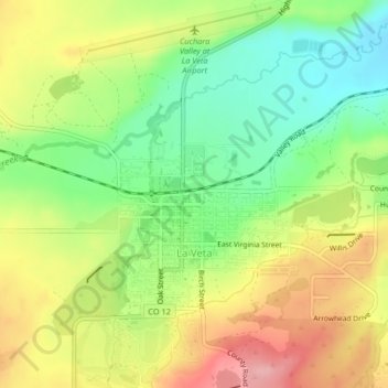
Name: La Veta topographic map, elevation, terrain.
Location: La Veta, Huerfano County, Colorado, 80155, United States (37.49362 -105.01992 37.52622 -104.99722)
Average elevation: 7,077 ft
Minimum elevation: 6,877 ft
Maximum elevation: 7,310 ft
Huerfano County trails, hiking, mountain biking, running and outdoor activities
Other topographic maps
Click on a map to view its topography, its elevation and its terrain.