
Thank you for supporting this site ❤️
Make a donation
Make a donation
Gear up for your next adventure:
As an Amazon Associate, this site earns from qualifying purchases at no extra cost to you.
Phum Thormmatray topographic map
Click on the map to display elevation.
Thank you for supporting this site ❤️
Make a donation
Make a donation
Gear up for your next adventure:
As an Amazon Associate, this site earns from qualifying purchases at no extra cost to you.
About this map
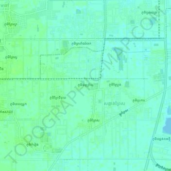
Name: Phum Thormmatray topographic map, elevation, terrain.
Location: Phum Thormmatray, Khan Dangkao, Phnom Penh, 120504, Cambodia (11.48080 104.83491 11.52080 104.87491)
Average elevation: 36 ft
Minimum elevation: 23 ft
Maximum elevation: 49 ft
Thank you for supporting this site ❤️
Make a donation
Make a donation
Gear up for your next adventure:
As an Amazon Associate, this site earns from qualifying purchases at no extra cost to you.