
Thank you for supporting this site ❤️
Make a donation
Make a donation
Gear up for your next adventure:
As an Amazon Associate, this site earns from qualifying purchases at no extra cost to you.
Sengge topographic map
Click on the map to display elevation.
Thank you for supporting this site ❤️
Make a donation
Make a donation
Gear up for your next adventure:
As an Amazon Associate, this site earns from qualifying purchases at no extra cost to you.
About this map
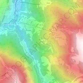
Name: Sengge topographic map, elevation, terrain.
Location: Sengge, Gspon, Staldenried, Visp, Wallis, 3933, Schweiz (46.20148 7.87089 46.24148 7.91089)
Average elevation: 4,984 ft
Minimum elevation: 2,280 ft
Maximum elevation: 8,064 ft
Thank you for supporting this site ❤️
Make a donation
Make a donation
Gear up for your next adventure:
As an Amazon Associate, this site earns from qualifying purchases at no extra cost to you.