Geolocate

Sharm El Luli topographic map

Click on the map to display elevation.

About this map

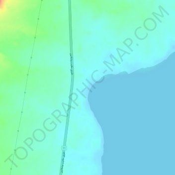
Name: Sharm El Luli topographic map, elevation, terrain.

Location: Sharm El Luli, Red Sea, Egypt (24.55418 35.14549 24.55428 35.14559)

Average elevation: 33 ft

Minimum elevation: -3 ft

Maximum elevation: 167 ft

Other topographic maps

Click on a map to view its topography, its elevation and its terrain.

Gulf of Suez

Egypt > Red Sea

Average elevation: 1,578 ft

Gamsha

Egypt > Red Sea

Average elevation: 154 ft

Southern Gaysum

Egypt > Red Sea

Average elevation: 0 ft

Al Qusair City

Egypt > Red Sea

Average elevation: 154 ft

Marsa Alam City

Egypt > Red Sea

Average elevation: 62 ft

Gear up for your next adventure:

💧Water Purification System - Clean water on the trail with reliable purifiers
📷Action Cameras - Rugged cameras to document your journeys across rugged terrain
👖Convertible Hiking Pants - Versatile zip-off pants for changing altitudes and temperatures
🔪Outdoor Multitools - Essential survival tools for gear repair and field use
🪶Thermal Camp Blanket - Extra warmth for cold nights

As an Amazon Associate, this site earns from qualifying purchases at no extra cost to you.