
Thank you for supporting this site ❤️
Make a donation
Make a donation
Gear up for your next adventure:
As an Amazon Associate, this site earns from qualifying purchases at no extra cost to you.
Belante topographic map
Click on the map to display elevation.
Thank you for supporting this site ❤️
Make a donation
Make a donation
Gear up for your next adventure:
As an Amazon Associate, this site earns from qualifying purchases at no extra cost to you.
About this map
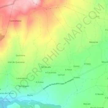
Name: Belante topographic map, elevation, terrain.
Location: Belante, Sarria, Lugo, Galicia, 27612, Spain (42.76805 -7.49873 42.80169 -7.47614)
Average elevation: 2,159 ft
Minimum elevation: 1,706 ft
Maximum elevation: 2,766 ft
Thank you for supporting this site ❤️
Make a donation
Make a donation
Gear up for your next adventure:
As an Amazon Associate, this site earns from qualifying purchases at no extra cost to you.