
Thank you for supporting this site ❤️
Make a donation
Make a donation
Gear up for your next adventure:
As an Amazon Associate, this site earns from qualifying purchases at no extra cost to you.
Ekincik topographic map
Click on the map to display elevation.
Thank you for supporting this site ❤️
Make a donation
Make a donation
Gear up for your next adventure:
As an Amazon Associate, this site earns from qualifying purchases at no extra cost to you.
About this map
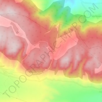
Name: Ekincik topographic map, elevation, terrain.
Location: Ekincik, Tokat Merkez, Tokat, Black Sea Region, Turkey (40.51607 36.76151 40.55607 36.80151)
Average elevation: 3,294 ft
Minimum elevation: 2,320 ft
Maximum elevation: 3,842 ft
Thank you for supporting this site ❤️
Make a donation
Make a donation
Gear up for your next adventure:
As an Amazon Associate, this site earns from qualifying purchases at no extra cost to you.