Geolocate

Sector 32 topographic map

Click on the map to display elevation.

About this map

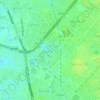
Name: Sector 32 topographic map, elevation, terrain.

Location: Sector 32, Gurgaon, Gurugram District, Haryana, India (28.44047 77.03589 28.45184 77.04764)

Average elevation: 748 ft

Minimum elevation: 725 ft

Maximum elevation: 771 ft

Gear up for your next adventure:

🛶Inflatable Kayak - Portable kayak for rivers, lakes, and expeditions
🦶Carbon Trekking Poles - Reduce knee impact on steep descents with ultra-light poles
🧤Tactile Hiking Gloves - Keep hands warm while operating GPS and smartphone screens
🧺Microfiber Travel Towels - Compact and fast-drying towels for trail use
📚Navigation Handbooks - Master the art of reading topographic maps and using a compass

As an Amazon Associate, this site earns from qualifying purchases at no extra cost to you.