Geolocate

Jerillo topographic map

Click on the map to display elevation.

About this map

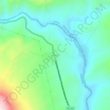
Name: Jerillo topographic map, elevation, terrain.

Location: Jerillo, Jepelacio, Moyobamba, San Martín, Perú (-6.13075 -76.86821 -6.09075 -76.82821)

Average elevation: 2,930 ft

Minimum elevation: 2,425 ft

Maximum elevation: 4,498 ft

Gear up for your next adventure:

🧯Portable Fire Pit - Compact fire pit for camping spots
🌧️Backpack Rain Cover - Keep gear dry in wet weather
🩹Survival Bandages - High‑quality bandages for emergencies
🏔️Mountain Trail Maps - High‑detail maps for popular peaks
🧭Orienteering Set - Complete compass and map reading kit

As an Amazon Associate, this site earns from qualifying purchases at no extra cost to you.