
党岭 topographic map
Interactive map
Click on the map to display elevation.
About this map
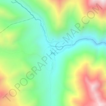
Name: 党岭 topographic map, elevation, terrain.
Location: 党岭, 丹巴县, 甘孜藏族自治州, 四川省, 中国 (31.05336 101.38528 31.09336 101.42528)
Average elevation: 12,343 ft
Minimum elevation: 10,856 ft
Maximum elevation: 14,875 ft
Other topographic maps
Click on a map to view its topography, its elevation and its terrain.