Geolocate

Lunva topographic map

Interactive map

Click on the map to display elevation.

About this map

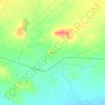
Name: Lunva topographic map, elevation, terrain.

Location: Lunva, Bhachau Taluka, Kachchh, Gujarat, 370140, India (23.25076 70.21939 23.29076 70.25939)

Average elevation: 164 ft

Minimum elevation: 89 ft

Maximum elevation: 279 ft

Other topographic maps

Click on a map to view its topography, its elevation and its terrain.

Kalyanpar (Bachau)

India > Gujarat > Bhachau Taluka

Kalyanpar (Bachau), Bhachau Taluka, Kachchh, Gujarat, 370165, India

Average elevation: 62 ft

Bhachau (M)

India > Gujarat > Bhachau Taluka > Bhachau (M)

Bhachau (M), Bhachau Taluka, Kutch District, Gujarat, 370140, India

Average elevation: 115 ft