
Thank you for supporting this site ❤️
Make a donation
Make a donation
Gear up for your next adventure:
As an Amazon Associate, this site earns from qualifying purchases at no extra cost to you.
Karwar topographic map
Click on the map to display elevation.
Thank you for supporting this site ❤️
Make a donation
Make a donation
Gear up for your next adventure:
As an Amazon Associate, this site earns from qualifying purchases at no extra cost to you.
About this map
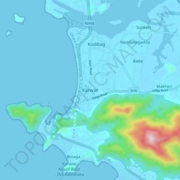
Name: Karwar topographic map, elevation, terrain.
Location: Karwar, Karwar taluk, Uttara Kannada, Karnataka, 581300, India (14.77219 74.09234 14.85219 74.17234)
Average elevation: 141 ft
Minimum elevation: -13 ft
Maximum elevation: 1,716 ft
Thank you for supporting this site ❤️
Make a donation
Make a donation
Gear up for your next adventure:
As an Amazon Associate, this site earns from qualifying purchases at no extra cost to you.