
Thank you for supporting this site ❤️
Make a donation
Make a donation
Gear up for your next adventure:
As an Amazon Associate, this site earns from qualifying purchases at no extra cost to you.
Al `Inan topographic map
Click on the map to display elevation.
Thank you for supporting this site ❤️
Make a donation
Make a donation
Gear up for your next adventure:
As an Amazon Associate, this site earns from qualifying purchases at no extra cost to you.
About this map
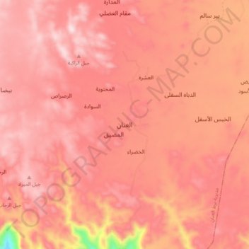
Name: Al `Inan topographic map, elevation, terrain.
Location: Al `Inan, Bart Al Anan district, Al Jawf Governorate, Yemen (16.68309 44.27223 16.76309 44.35223)
Average elevation: 6,975 ft
Minimum elevation: 5,797 ft
Maximum elevation: 7,359 ft
Thank you for supporting this site ❤️
Make a donation
Make a donation
Gear up for your next adventure:
As an Amazon Associate, this site earns from qualifying purchases at no extra cost to you.