Geolocate

Didcot topographic map

Click on the map to display elevation.

About this map

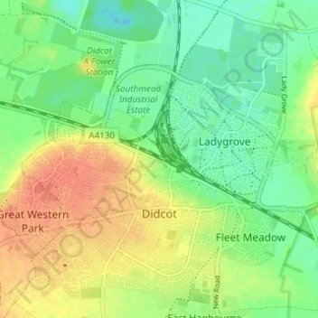
Name: Didcot topographic map, elevation, terrain.

Location: Didcot, South Oxfordshire, Oxfordshire, England, United Kingdom (51.59417 -1.27329 51.63017 -1.21217)

Average elevation: 200 ft

Minimum elevation: 135 ft

Maximum elevation: 276 ft

Other topographic maps

Click on a map to view its topography, its elevation and its terrain.

Gear up for your next adventure:

🛠️Backpacking Tool Kit - Essential toolkit for outdoor repairs
🎒Trekking Poles - Sturdy poles for balance and stability on rough terrain
🧣Merino Neck Gaiters - Multi-functional headwear for wind and sun protection
🍳Camping Cook Set - Complete cookware for outdoor meals
🔭Stargazing Telescopes - Perfect for camping in low-light pollution areas shown on maps

As an Amazon Associate, this site earns from qualifying purchases at no extra cost to you.