
Make a donation
Gear up for your next adventure:
As an Amazon Associate, this site earns from qualifying purchases at no extra cost to you.
Simpang Empat topographic map
Click on the map to display elevation.
Make a donation
Gear up for your next adventure:
As an Amazon Associate, this site earns from qualifying purchases at no extra cost to you.
About this map
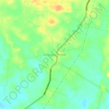
Name: Simpang Empat topographic map, elevation, terrain.
Average elevation: 102 ft
Minimum elevation: 46 ft
Maximum elevation: 177 ft
Make a donation
Gear up for your next adventure:
As an Amazon Associate, this site earns from qualifying purchases at no extra cost to you.
Other topographic maps
Click on a map to view its topography, its elevation and its terrain.
Martapura River
Indonesia > South Kalimantan > Banjar
The watershed area (Indonesian: daerah aliran sungai) of Martapura is 453.88 square kilometers (175.24 sq mi), with the main river length of 36,566 meters (119,967 feet), and with all tributaries has a total length of 375.91 kilometers (233.58 mi), giving a river density level of 0.828 km/km2 (1.333 mi/sq mi).…
Average elevation: 20 ft