Geolocate

Muhr topographic map

Click on the map to display elevation.

About this map

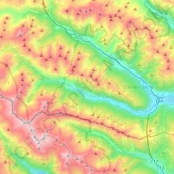
Name: Muhr topographic map, elevation, terrain.

Location: Muhr, Bezirk Tamsweg, Salzburg, 5583, Austria (47.05201 13.33258 47.16255 13.60365)

Average elevation: 6,132 ft

Minimum elevation: 3,428 ft

Maximum elevation: 9,921 ft

Gear up for your next adventure:

🪶Paracord Bracelet - Survival bracelet with built‑in tools
🎒Trekking Poles - Sturdy poles for balance and stability on rough terrain
🔦Powerful Headlamps - Ultra-bright hands-free lighting for night navigation
🛶Inflatable Kayak - Portable kayak for rivers, lakes, and expeditions
🧭Orienteering Set - Complete compass and map reading kit

As an Amazon Associate, this site earns from qualifying purchases at no extra cost to you.