
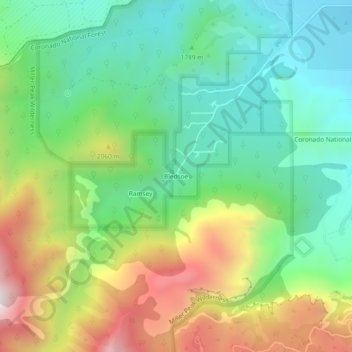
Bledsoe topographic map
Click on the map to display elevation.
Bledsoe
Bledsoe is a populated place situated in Cochise County, Arizona, United States. It has an estimated elevation of 5,545 feet (1,690 m) above sea level.
About this map
Name: Bledsoe topographic map, elevation, terrain.
Average elevation: 6,096 ft
Minimum elevation: 4,987 ft
Maximum elevation: 8,104 ft
Cochise County trails, hiking, mountain biking, running and outdoor activities