
Thank you for supporting this site ❤️
Make a donation
Make a donation
Gear up for your next adventure:
As an Amazon Associate, this site earns from qualifying purchases at no extra cost to you.
Um Al-Jimal topographic map
Click on the map to display elevation.
Thank you for supporting this site ❤️
Make a donation
Make a donation
Gear up for your next adventure:
As an Amazon Associate, this site earns from qualifying purchases at no extra cost to you.
About this map
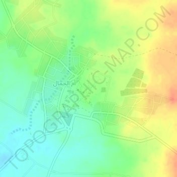
Name: Um Al-Jimal topographic map, elevation, terrain.
Location: Um Al-Jimal, Mafraq, JORZATD007, Jordan (32.31760 36.36047 32.33760 36.38047)
Average elevation: 2,231 ft
Minimum elevation: 2,165 ft
Maximum elevation: 2,306 ft
Thank you for supporting this site ❤️
Make a donation
Make a donation
Gear up for your next adventure:
As an Amazon Associate, this site earns from qualifying purchases at no extra cost to you.