
Make a donation
Gear up for your next adventure:
As an Amazon Associate, this site earns from qualifying purchases at no extra cost to you.
Cattenbroek topographic map
Click on the map to display elevation.
Make a donation
Gear up for your next adventure:
As an Amazon Associate, this site earns from qualifying purchases at no extra cost to you.
Cattenbroek
Bij Woerden gaat de Cattenbroekerdijk middels een viaduct over de A12. Een deel van de oorspronkelijke dijk is nog te zien naast de oprit die toegang geeft tot het viaduct, ter hoogte van Cattenbroekerdijk 18. Bij Montfoort loopt de dijk langs de Montfoortse Vaart.
Make a donation
Gear up for your next adventure:
As an Amazon Associate, this site earns from qualifying purchases at no extra cost to you.
About this map
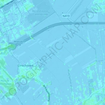
Name: Cattenbroek topographic map, elevation, terrain.
Average elevation: 0 ft
Minimum elevation: -13 ft
Maximum elevation: 13 ft
Make a donation
Gear up for your next adventure:
As an Amazon Associate, this site earns from qualifying purchases at no extra cost to you.