Geolocate

Smoky topographic map

Click on the map to display elevation.

About this map

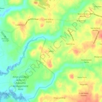
Name: Smoky topographic map, elevation, terrain.

Location: Smoky, Calvert County, Maryland, 21689, United States (38.62651 -76.67080 38.66651 -76.63080)

Average elevation: 79 ft

Minimum elevation: -10 ft

Maximum elevation: 161 ft

Calvert County trails, hiking, mountain biking, running and outdoor activities

Gear up for your next adventure:

👖Convertible Hiking Pants - Versatile zip-off pants for changing altitudes and temperatures
🌡️Handheld Weather Meters - Measure wind, temp, and pressure for safe mountain travel
🏕️Family Camping Gear - Essentials for group camping trips
🪶Compact Camp Shovel - Folding shovel for campsite tasks
Backpacking Tents - Weight-optimized shelters for multi-day topographic surveys

As an Amazon Associate, this site earns from qualifying purchases at no extra cost to you.