
Rijksdag en Rijksdagkoepel topographic map
Interactive map
Click on the map to display elevation.
About this map
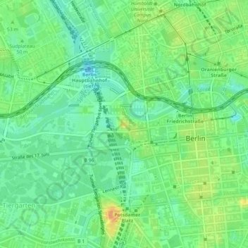
Name: Rijksdag en Rijksdagkoepel topographic map, elevation, terrain.
Average elevation: 128 ft
Minimum elevation: 82 ft
Maximum elevation: 194 ft