
Belmont topographic map
Click on the map to display elevation.
About this map
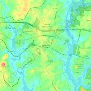
Name: Belmont topographic map, elevation, terrain.
Location: Belmont, Gaston County, North Carolina, 28012, United States (35.20383 -81.07773 35.28383 -80.99773)
Average elevation: 659 ft
Minimum elevation: 561 ft
Maximum elevation: 899 ft
Gaston County trails, hiking, mountain biking, running and outdoor activities