Geolocate

Bodmen topographic map

Click on the map to display elevation.

About this map
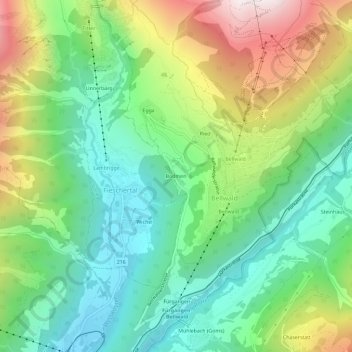
Name: Bodmen topographic map, elevation, terrain.

Location: Bodmen, Bellwald, Conches, Valais, 3997, Suisse (46.40619 8.13196 46.44619 8.17196)

Average elevation: 4,931 ft

Minimum elevation: 3,451 ft

Maximum elevation: 7,697 ft

Gear up for your next adventure:

🏫Relief Map Kits - Hands-on tools for teaching landforms and elevation
🧦Merino Wool Socks - Moisture-wicking, blister-preventing socks for long treks
🪶Camp Gear Gift Set - Perfect gift bundle for outdoor fans
🪶Wildlife Field Guides - Learn animal tracking and species ID
🥾Hiking Shoes - Durable and comfortable shoes for trail hiking

As an Amazon Associate, this site earns from qualifying purchases at no extra cost to you.