Geolocate

Silangan topographic map

Click on the map to display elevation.

About this map

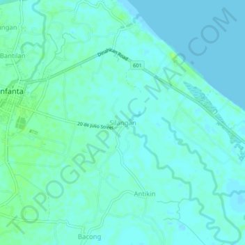
Name: Silangan topographic map, elevation, terrain.

Location: Silangan, Infanta, Quezon, Calabarzon, 4336, Philippines (14.72134 121.64806 14.76134 121.68806)

Average elevation: 13 ft

Minimum elevation: -3 ft

Maximum elevation: 39 ft

Other topographic maps

Click on a map to view its topography, its elevation and its terrain.

Agos River

Philippines > Quezon > Infanta > Pinaglapatan

Average elevation: 3 ft

Agos River

Philippines > Quezon > Infanta > Pinaglapatan

Average elevation: 3 ft

Gear up for your next adventure:

🔦Compact Flashlight - Reliable flashlight for emergencies
🌎3D Topographic Globes - Raised relief globes for a tactile understanding of geography
🔦LED Headlamp - Bright and durable LED headlamp for night navigation
🦶Carbon Trekking Poles - Reduce knee impact on steep descents with ultra-light poles
🪵Folding Camp Saw - Compact saw for wood and campsite work

As an Amazon Associate, this site earns from qualifying purchases at no extra cost to you.