
Noonan topographic map
Click on the map to display elevation.
About this map
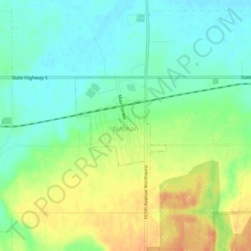
Name: Noonan topographic map, elevation, terrain.
Location: Noonan, Divide County, North Dakota, United States (48.88410 -103.01708 48.89443 -103.00210)
Average elevation: 1,972 ft
Minimum elevation: 1,916 ft
Maximum elevation: 2,051 ft
Divide County trails, hiking, mountain biking, running and outdoor activities