
Ritchie topographic map
Click on the map to display elevation.
About this map
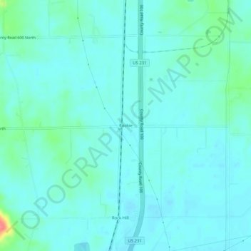
Name: Ritchie topographic map, elevation, terrain.
Location: Ritchie, Spencer County, Indiana, 57611, United States (37.93977 -87.05889 37.97977 -87.01889)
Average elevation: 417 ft
Minimum elevation: 381 ft
Maximum elevation: 600 ft
Spencer County trails, hiking, mountain biking, running and outdoor activities