Geolocate

Ordesa topographic map

Click on the map to display elevation.

About this map

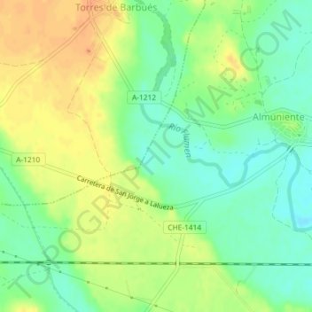
Name: Ordesa topographic map, elevation, terrain.

Location: Ordesa, Almuniente, Los Monegros, Huesca, Aragon, Spain (41.93746 -0.43716 41.95746 -0.41716)

Average elevation: 1,119 ft

Minimum elevation: 1,060 ft

Maximum elevation: 1,184 ft

Gear up for your next adventure:

🥾Hiking Shoes - Durable and comfortable shoes for trail hiking
🪶Paracord Bracelet - Survival bracelet with built‑in tools
🎒Gear Packing Cubes - Organize your backpack efficiently
🛰️Satellite Messengers - Emergency SOS and two-way messaging for off-grid adventures
🩳Quick‑Dry Hiking Shorts - Comfortable and quick‑dry shorts for summer hiking

As an Amazon Associate, this site earns from qualifying purchases at no extra cost to you.