
Thank you for supporting this site ❤️
Make a donation
Make a donation
Gear up for your next adventure:
As an Amazon Associate, this site earns from qualifying purchases at no extra cost to you.
Carosi topographic map
Click on the map to display elevation.
Thank you for supporting this site ❤️
Make a donation
Make a donation
Gear up for your next adventure:
As an Amazon Associate, this site earns from qualifying purchases at no extra cost to you.
About this map
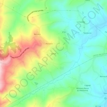
Name: Carosi topographic map, elevation, terrain.
Location: Carosi, Civitella del Tronto, Teramo, Abruzzo, 64012, Italia (42.75512 13.68859 42.79512 13.72859)
Average elevation: 879 ft
Minimum elevation: 472 ft
Maximum elevation: 1,670 ft
Thank you for supporting this site ❤️
Make a donation
Make a donation
Gear up for your next adventure:
As an Amazon Associate, this site earns from qualifying purchases at no extra cost to you.