
Canton topographic map
Click on the map to display elevation.
About this map
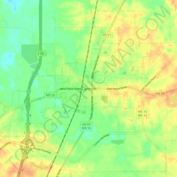
Name: Canton topographic map, elevation, terrain.
Location: Canton, Madison County, Mississippi, 39046, United States (32.57260 -90.07675 32.65260 -89.99675)
Average elevation: 243 ft
Minimum elevation: 180 ft
Maximum elevation: 302 ft
Madison County trails, hiking, mountain biking, running and outdoor activities