Geolocate

Gates topographic map

Click on the map to display elevation.

About this map

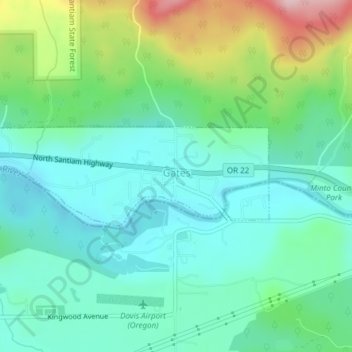
Name: Gates topographic map, elevation, terrain.

Location: Gates, Marion County, Oregon, 97346, United States (44.75159 -122.43706 44.75926 -122.40636)

Average elevation: 1,096 ft

Minimum elevation: 866 ft

Maximum elevation: 1,729 ft

Marion County trails, hiking, mountain biking, running and outdoor activities

Gear up for your next adventure:

💧Water Filtration Bottles - Safely drink from streams and lakes while exploring
Backpacking Tent - Lightweight and durable tent for multi‑day hikes
🥄Camping Utensil Set - Lightweight utensils for outdoor meals
🥾Men's Hiking Boots - Durable, waterproof footwear for rugged terrain and steep inclines
📷Action Camera - Capture your outdoor adventures in HD

As an Amazon Associate, this site earns from qualifying purchases at no extra cost to you.