
Canyon topographic map
Click on the map to display elevation.
About this map
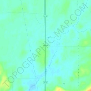
Name: Canyon topographic map, elevation, terrain.
Location: Canyon, Saint Louis County, Minnesota, 55717, United States (47.01994 -92.49075 47.05994 -92.45075)
Average elevation: 1,348 ft
Minimum elevation: 1,322 ft
Maximum elevation: 1,434 ft
Saint Louis County trails, hiking, mountain biking, running and outdoor activities