
Kesselt topographic map
Click on the map to display elevation.
Kesselt
Kesselt behoort tot de streek Droog-Haspengouw. Het ligt geologisch gezien op een plateau, dat omwille van de unieke kleisoort genoemd is naar het dorp (plateau van Kesselt). Het dorp geniet dan ook enige regionale bekendheid omwille van haar steenbakkerij. Kesselt ligt op een hoogte van ongeveer 98 meter. Ten oosten van Kesselt loopt het Albertkanaal en aan de overzijde van dit kanaal ligt nog een smalle strook Belgisch grondgebied, aangrenzend bij de Maastrichtse woonwijken Daalhof en Hazendans op Nederlands grondgebied.
About this map
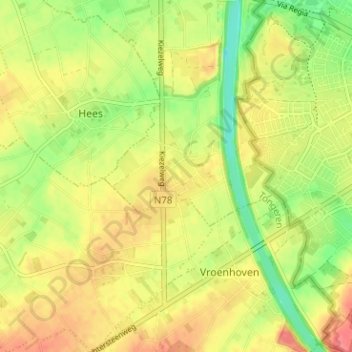
Name: Kesselt topographic map, elevation, terrain.
Location: Kesselt, Veldwezelt, Lanaken, Tongeren, Limburg, 3770, België (50.81888 5.60797 50.85888 5.64797)
Average elevation: 276 ft
Minimum elevation: 164 ft
Maximum elevation: 371 ft