Geolocate

Consuelo topographic map

Click on the map to display elevation.

About this map

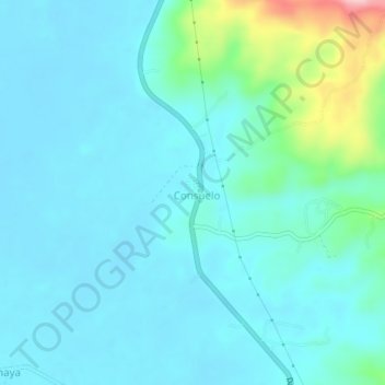
Name: Consuelo topographic map, elevation, terrain.

Location: Consuelo, Bunawan, Agusan del Sur, Caraga, Philippines (8.21785 125.96330 8.25785 126.00330)

Average elevation: 144 ft

Minimum elevation: 43 ft

Maximum elevation: 663 ft

Gear up for your next adventure:

🔪Outdoor Multitools - Essential survival tools for gear repair and field use
🧦Merino Wool Socks - Moisture-wicking, blister-preventing socks for long treks
🧯Portable Fire Pit - Compact fire pit for camping spots
🗺️Topographic Maps - Detailed topo maps for hiking, exploring and outdoor navigation
🚪Portable Camp Chair - Foldable chair for comfort at camp

As an Amazon Associate, this site earns from qualifying purchases at no extra cost to you.