Geolocate

Carmel topographic map

Click on the map to display elevation.

About this map

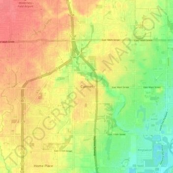
Name: Carmel topographic map, elevation, terrain.

Location: Carmel, Hamilton County, Indiana, 46032-1361, United States (39.93880 -86.15893 40.01880 -86.07893)

Average elevation: 833 ft

Minimum elevation: 725 ft

Maximum elevation: 915 ft

Hamilton County trails, hiking, mountain biking, running and outdoor activities

Gear up for your next adventure:

🔋Solar Power Banks - Keep your GPS and phone charged in remote wilderness areas
🧯Emergency Survival Kit - All‑in‑one survival essentials for the backcountry
🩳Quick‑Dry Hiking Shorts - Comfortable and quick‑dry shorts for summer hiking
🪶Wildlife Field Guides - Learn animal tracking and species ID
🎁Geography Themed Gifts - Unique gift ideas for map lovers and geography enthusiasts

As an Amazon Associate, this site earns from qualifying purchases at no extra cost to you.