Geolocate

Mangriguda topographic map

Click on the map to display elevation.

About this map

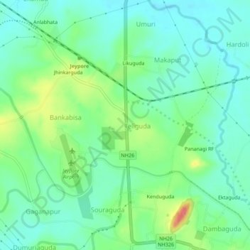
Name: Mangriguda topographic map, elevation, terrain.

Location: Mangriguda, Teliguda, Jeypore, Koraput, Odisha, 764004, India (18.86537 82.54170 18.90537 82.58170)

Average elevation: 1,926 ft

Minimum elevation: 1,857 ft

Maximum elevation: 2,087 ft

Gear up for your next adventure:

📦Gear Storage Bags - Organize and protect outdoor equipment
🧭Compass with Lanyard - Easy‑carry compass for navigation
🔪Outdoor Multitools - Essential survival tools for gear repair and field use
📖Nature Tracking Books - Learn to track wildlife and terrain
🛡️Insect Repellent - Protection against bugs during outdoor activities

As an Amazon Associate, this site earns from qualifying purchases at no extra cost to you.